Alan Llavore | Office of Strategic Communication | (909) 537-3007 | allavore@csusb.edu

In an age where environmental concerns and air quality have become central issues, understanding the intricacies of atmospheric pollution is more crucial than ever.
To this end, the NASA/NOAA Aeromma airborne campaign recently introduced an innovative approach to study pollution dynamics, and it's taking place right on Cal State San Bernardino’s doorstep.
Specifically, the Jet Propulsion Laboratory (JPL) installed a lidar system on campus near the Facilities Management building to measure the vertical distribution of pollution, focusing on ozone and aerosols. This endeavor is a part of a broader effort to enhance scientists’ knowledge of pollution in mountainous regions, where unique atmospheric dynamics are at play.
Why study vertical pollution distribution?
The geographical setting of mountainous regions can significantly influence the behavior of atmospheric pollution. Mountains can act as barriers, causing pollutants to rise in altitude and, at times, become trapped in a specific layer of the atmosphere. When these elevated pollutants descend, often due to meteorological conditions, it can lead to increased surface-level pollution, adversely affecting air quality and the health of inhabitants in the region.
Understanding this phenomenon is paramount, as it directly impacts the policies and measures needed to control and mitigate pollution. By measuring the vertical distribution of ozone and aerosols, JPL is playing a pivotal role in this research, contributing to the broader knowledge base that informs environmental regulations and public health decisions.
The role of the lidar system
The lidar system, which stands for Light Detection and Ranging, is an advanced remote sensing technology that employs laser pulses to measure the properties of the atmosphere.
In this case, JPL's lidar system is tasked with precisely measuring the vertical distribution of pollution in the area surrounding CSUSB. This system is highly accurate and offers real-time data, providing researchers with crucial insights into pollution patterns as they evolve.

Ozonesonde balloons: A vital piece of the puzzle
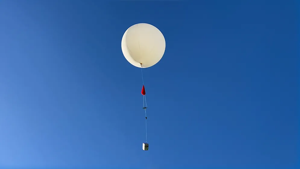
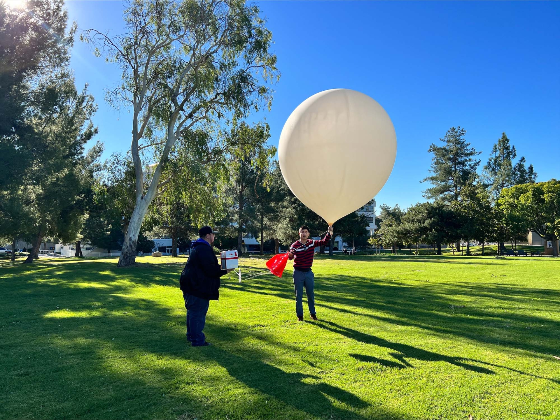
One of the most exciting components of the research conducted at JPL is the use of ozonesonde balloons. An ozonesonde is a specialized instrument attached to an eight-foot diameter weather balloon filled with helium. The instrument payload is capable of recording a wealth of atmospheric data as the balloon ascends. The entire process, from preparation to launch, is a meticulously timed procedure.
Once the ozonesonde balloon is filled and prepped (an approximately thirty-minute operation), it is released into the atmosphere. As it ascends, it carries the instrument payload with it, allowing for the collection of vital data on ozone concentrations and other atmospheric parameters. This data is instrumental for validating the observations made by the lidar system.
The bigger picture
The collaboration between NASA, NOAA and institutions like JPL is a testament to the dedication and innovation within the scientific community. Through initiatives like the Aeromma (which stands for Atmospheric Emissions and Reactions Observed from Megacities to Marine Areas) airborne campaign, scientists gain a better understanding of atmospheric pollution dynamics, which in turn can lead to them being better equipped to develop strategies for a cleaner and healthier environment.
JPL's lidar system and the use of ozonesonde balloons showcase the commitment to cutting-edge research and technological advancement in the field of atmospheric science.
As the quest for cleaner air and a healthier planet moves forward, these endeavors will undoubtedly play a pivotal role in shaping the policies and solutions required to tackle air pollution challenges in mountainous regions and beyond.